- Mar 29, 2016
- 6,974
- 2
- 9,485


Rather then have one giant long thread it should be easier with a stage by stage thread - if Mods think otherwise then just delete this -
Start list, TV etc at http://www.steephill.tv/criterium-du-dauphine-libere/#rosters
Official website (English version) at https://www.criterium-du-dauphine.fr/en/
Twitter at https://twitter.com/dauphine
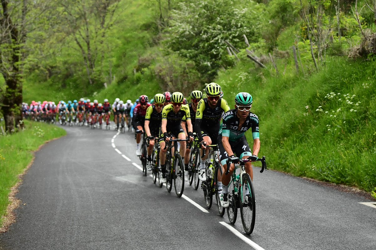
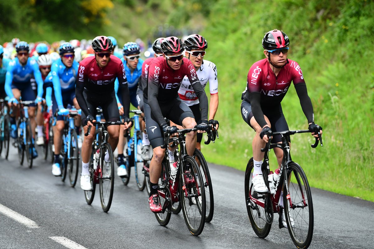
2019 Critérium du Dauphiné stage 1 Aurillac - Jussac 142 km
start 11.00 CET, TV from 13.30 CET
At 142 kilometres, the 1st stage of the Critérium du Dauphiné takes in five climbs. So the race gets the climbing underway from the get-go. The hardest ascent is crested at kilometre 34 before continuing onto more lumpy terrain. The last summit lies 18 kilometres before the finish in Jussac.
Departure place Aurillac is located in the southwest tip of the Auvergne-Rhône-Alpes region, a place where the Critérium du Dauphiné never ventured before. The route includes a series of demanding climbs, starting with the Pas de Peyrol (Puy Mary), an ascension of 10.6 kilometres at 6.1%. The pass is tackled at kilometre 34 and following a toil at the highest road pass in the Massif Central the riders reach the peak at an elevation of 1,598 metres. Quite an impressive climb to start with.
The race continues to the Côte de Besse (2.6 kilometres at 5.2%) and the Côte de Saint-Cernin (4.8 kilometres at 4.3%) before tackling a lumpy local circuit through the hills around Jussac. The riders face a double ascent up Côte de la Route des Crêtes. The 3.6 kilometres slope comes with an average gradient of 7%. The summit is 18 kilometres from the finishing line.
profile

map

Start list, TV etc at http://www.steephill.tv/criterium-du-dauphine-libere/#rosters
Official website (English version) at https://www.criterium-du-dauphine.fr/en/
Twitter at https://twitter.com/dauphine
2019 Critérium du Dauphiné stage 1 Aurillac - Jussac 142 km
start 11.00 CET, TV from 13.30 CET
At 142 kilometres, the 1st stage of the Critérium du Dauphiné takes in five climbs. So the race gets the climbing underway from the get-go. The hardest ascent is crested at kilometre 34 before continuing onto more lumpy terrain. The last summit lies 18 kilometres before the finish in Jussac.
Departure place Aurillac is located in the southwest tip of the Auvergne-Rhône-Alpes region, a place where the Critérium du Dauphiné never ventured before. The route includes a series of demanding climbs, starting with the Pas de Peyrol (Puy Mary), an ascension of 10.6 kilometres at 6.1%. The pass is tackled at kilometre 34 and following a toil at the highest road pass in the Massif Central the riders reach the peak at an elevation of 1,598 metres. Quite an impressive climb to start with.
The race continues to the Côte de Besse (2.6 kilometres at 5.2%) and the Côte de Saint-Cernin (4.8 kilometres at 4.3%) before tackling a lumpy local circuit through the hills around Jussac. The riders face a double ascent up Côte de la Route des Crêtes. The 3.6 kilometres slope comes with an average gradient of 7%. The summit is 18 kilometres from the finishing line.
profile
map