KAKANIEN RUNDFAHRT
(Sat)
stage 13: Cividale del Friuli - Stari vrh, 198 km
You are a tiny
scalatore puro and have lost tons of time in the 70 km time trial? Well, today is your lucky day, as there are tons of climbs from start to finish where you can gain plenty of time. We start with
Madonnina del Domm (7,6 km 8,6%), followed by
Porzus (7,4 km 9%, the first 8,5 km in the profile) and the easier
Breginj. Starting with serous climbs right from the gun nearly guarantees that real climbers will be in the break of the day. And this break might even succeed, as the terrain is very difficult for controlling the race. Think Rujanito and Parra in the Ortisei stage 2005 for instance.
At km 80 the hardest climb of the day begins:
Kolovrat. The first 4 km are 11% steep at average. The next km is nearly flat, for the following 2,8 km the gradient is a bit over 10%, before it gets easier for the final 2 km. Nice welcome to Slovenia, yes? The descent leads to
Tolmin, the next climbs to Ljubinj and Bukovo are easier.
The climb to
Jesenica, topping at km 140, has a
steep section of 2,8 km at 11%. The descent leads to the lovely village of
Cerkno. 47 km are left to race at this point, and there is not a lot of flat in these. The climb to
Podjelovo Brdo is quite long but steady (10 km 6%). Let's have a closer look at the final 28 km:
The penultimate climb to
Kladje is 4 km long, the central 2 km are 12% steep at average. Nice place to attack, i would think. The final climb goes up in three steps, all of them have really steep sections. The
first step (3 km 10%) is followed by a short
descent. The
second step is 1,9 km long and 12% steep. This section also includes 600 meters of
gravel, which has to be paved for the race.
Then we have 4 km of undulating terrain, where we are riding through meadows and passing through the tiny village
Cetena Ravan. The final 2,5 km are steep again, beginning with a ramp of 0,7 km at 13,7% and
finishing with 0,7 km at 15%. That should be fun, me thinks. Stari vrh is a
ski resort, which is rather small but quite popular thanks to the vicinity to Ljubljana and Kranj.
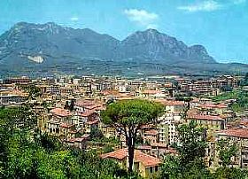
Cividale del Friuli
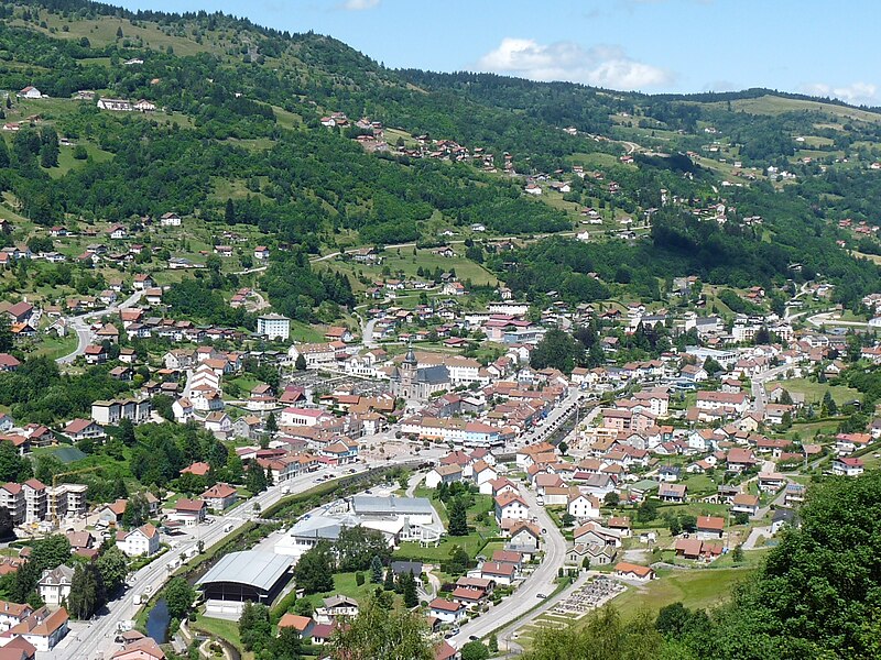
Stari vrh