@LS : When you say "Unlike France or Germany, where the important climbs are generally tied together in a relatively geographically clustered area."
I have to say that even if its technically true, we also have to say that ASO is doing an
historically bad job to exploit the areas to their best when they're not named Alps or Pyrenees (Even that is incorrect, Mercantour and Basque climbs are there to testify). Which is another issue than simply having a geographical problem. They're finally trying, but this is taking such a long time...its just awful.
If they were really using what they got, i could be lighter on them, but when you consider this...
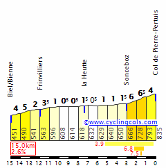
Jura : Grand Colombier : First seen in 2012 badly placed, Mont du Chat : Unseen since 1974, Mont d'Or since 1976.
Vosges : Petit Ballon : First seen in 2014, badly placed. Yet to ride on Brabant, Vierge, Champ du Feu...
Massif Central : No Signal d'Uchon, No Béal (even though it is a hugely popular one in the french community), No rollercoaster around Clermont-Ferrand since 1988 i believe...
We have yet to have a stage in the Causses since 1990...lets not even talk about the Cévennes : La Lusette is still a virgin, which is astonishing.
Those are PERFECTLY fine, and close, if not very close to a city large enough to host the Tour and be a part of a very difficult stage.
Even when you leave that kind of prospect aside, you still have serious mono-climbs untouched (Montagne de Lure, Pic de Nore, Col de Montalet...) and several other types of challenges never considered (where are the ribins ? Where are the white roads ? Its just out there...).
I'll follow your Vuelta with attention as its a country i dont know very well.
-That is really a massive stage for a Tour de Suisse, mayomaniac. We are sure that Cancellara wont win this one, at least.
-The Cosenza-Paola stage : Just great. That's really my type.
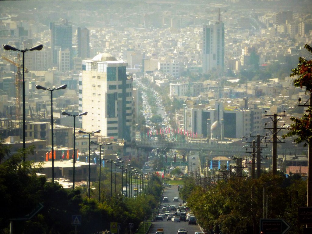
STAGE 7 : Karaj - Teheran, 221km.
We had our break, its time to put some pressure again
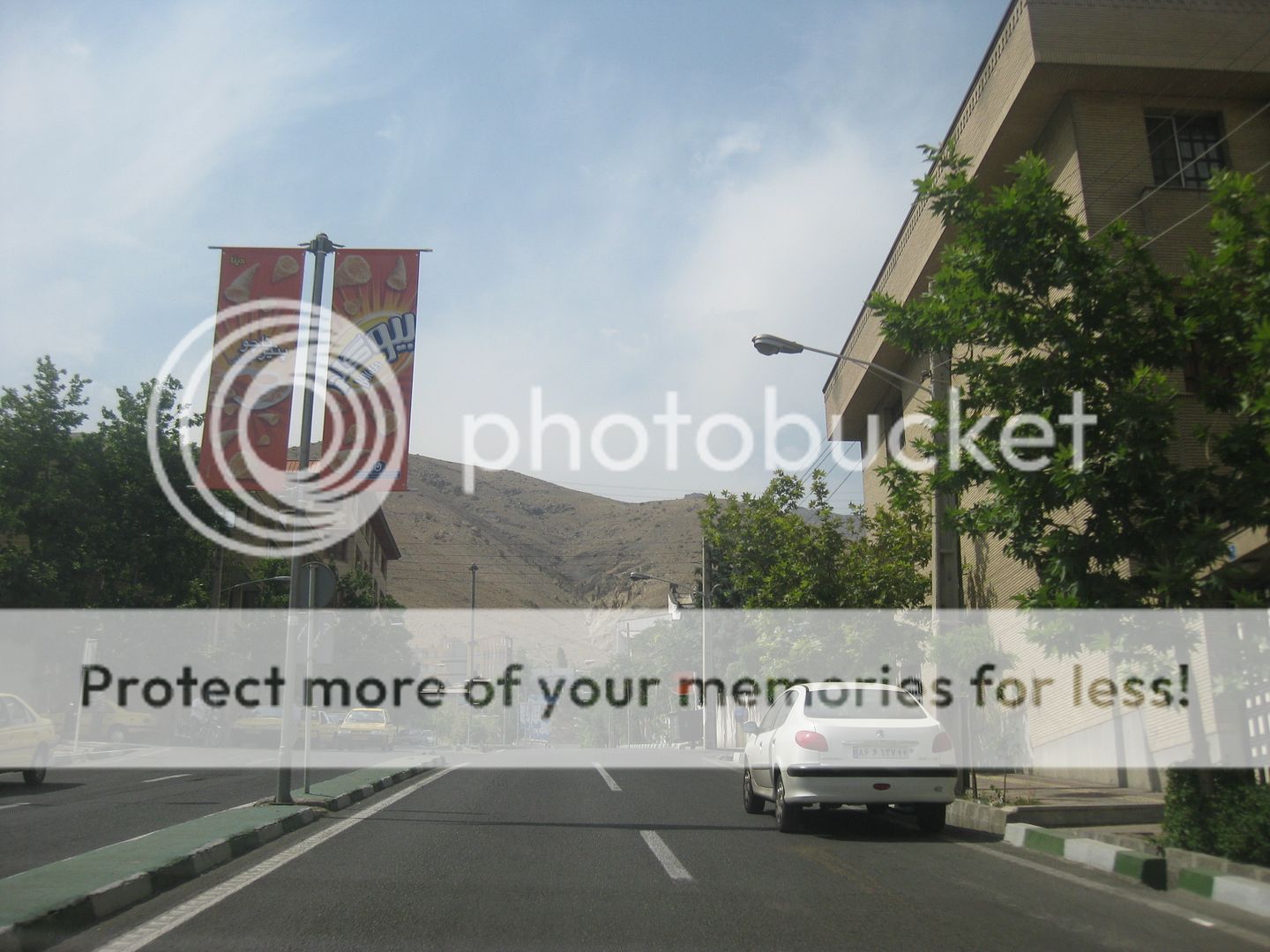
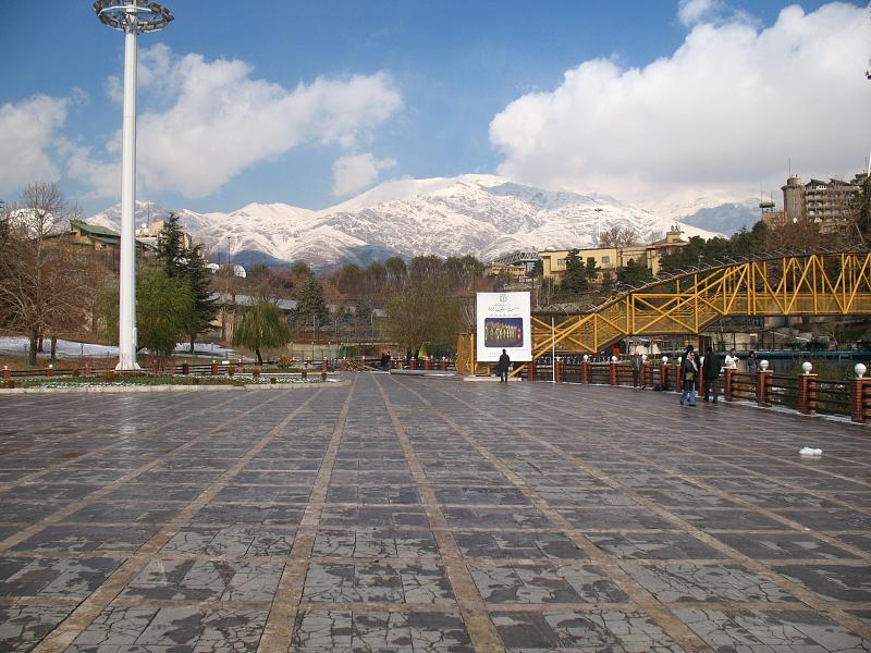
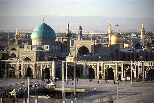
Today, we have a tricky stage in the foothills of the Alborz. The mountain range that separates Tehran, the iranian capital, from the Caspian Sea, basically.
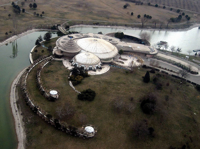
Karaj is a very old city, west of Tehran (about 20km), but very close, and almost in the big metropolitan area of the capital.
As it is older than most cities in that area, you'll have more cultural elements to see there, including one of the latest Pahlavi palaces.
Karaj, and the Pearl Palace
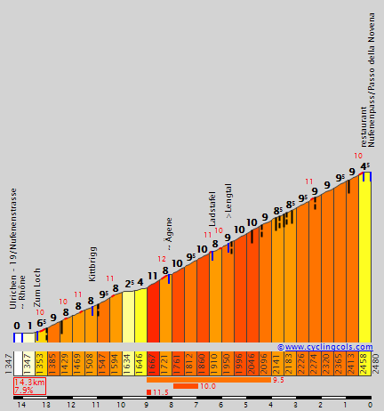
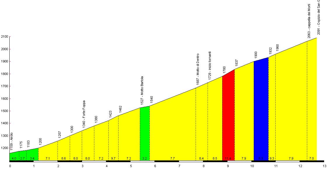
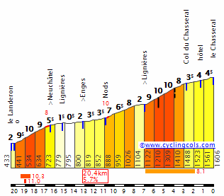
The road between those two is much shorter than those kms, but in fact, we'll make a trip in the Alborz, with the Dizin Pass, going north.
Amir Kebir Lake. We're going to race next to it.
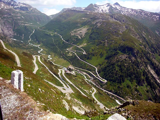
After 50km or so of flat, or rather false flat, we start with a proper mountain pass as Dizin is a ski station. At over 3.200m high, you got snow easily up there.
But for us in our perfect world, its not a problem, it just helps to make better pictures.
And good pictures we will have as the race will be dynamited by the pass.
Its gets very slowly up, and then, kaboom, the last 5km are absolutely atrocious. 12.2% average, with the last one being probably not respecting Geneva's convention, at 17.5% average.
Race is starting now. The last 120km are going to be very difficult, no rest whatsoever, a lot of smaller climbs as we're moving down to Tehran around the Latyan Dam. That climb is surely going to offer opportunities. It is just to difficult.
If a favourite is not on a good day, that stage is going to be long. Even though there is no big pass after that one, there is still a lot of potential trouble ahead.
The climbs are shorter as we go on, though. The road to Ammameh is 12km long, then, its 8km to Afjeh.
We're then on the other side of the dam, next to Tehran, and its rather long hills than proper climbs.
Saidabad and Tello, next to the eastern industrial area of Tehran are following, about 5km long for 5% gradient, not that hard, but tiring and offering chances to shake things up.
You really have to work to find a flat road in the area.
We're finally on Tehran after Lashgarak which the start of the final trilogy.
Once again, its shorter, 3.4km, but the steepness is back (7.1% average).
Those three ramps will offer perfect opportunities for a solo breakaway or for finally making the difference in a group of contenders.
The climb to the Jamshidieh Park is next, less difficult.
But it's probably the right time if you dont want to wait until the short but mighty road to Velenjak (11.5% over 1.5km)
The finish will be done in front of the Mellat Park after the descent.
Its hard to know what can happen today, but everything is there to have a great race.
Teammates can be thrown at the front of the race early on, the first climb is just too difficult to not cause damage, and any chase will be very tough to organize on a true rollercoaster which should be exhausting.
For weaker, relatively speaking, riders, this stage might be very useful as controlling opponents will be tougher than usual, and there is room to create havoc. For the eyes, it should be fun, and we're riding on several great areas of Tehran, not to mention that Iran is an underrated place for obvious political reasons.
(Dizin/Shemshak Pass : 3.5 - 1.5 - 2.5 - 1.5 - 5.5 - 1 - 2.5 - 2 - 3 - 3.5 - 5.5 - 5.5 - 9 - 7.5 - 13.5 - 13 - 17.5)

")