Yes, there is a road across the Sierra Nevada (it is the one visible on Google Maps, from Bubion to Capileira and then up-up-up). I travelled it south-to-north back in '99, early July. All information I have is from then.
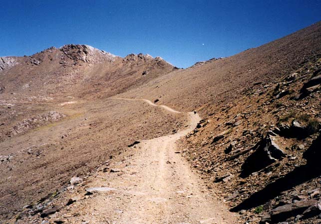
The northern road is tarmac, good until the car park at about 2700 metres. Above that altitude the road was closed for all un-authorized motor vehicles, and the surface was poorer toward the top. There is actually a cul-de-sac all the way to the top of Pico Veleta (a small car park 25 meters below the summit which is at 3398 meters). The actual pass I believe is at about 3200-3250 meters.
There was no impassable section at all in 1999, and two or three official cars passed us. We saw no other cyclists climbing the south side, but met a couple of mountain bikers going downhill.
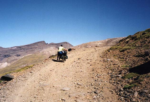
The sourthern side is a pretty rough gravel road, almost all the way down to Capileira (at 1500 meters). I had a touring bike with 37mm tires (loaded with >20kg); with the high load I was forced to walk some (steep) parts. I'm not sure how easy it would be to ride an unloaded road bike downhill.
It was two of the most memorable days I have spent on a bike.
A couple of pictures:
More pictures
here - unfortunately in Swedish, but the crossing starts about half way down the page. Click the link at the end of each day for more pictures.