Tour of Macaronesia
Stage 3: Machico - São Vicente (176.2km)
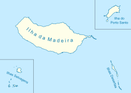
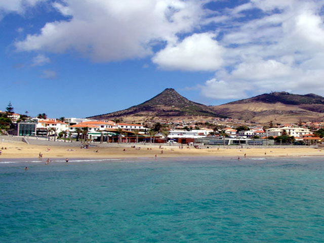
After two days/stages in Azores, the race moves to the next archipelago. Now its time for Madeira. Madeira archipelago is another of the portuguese maritime discoveries of the XV century. The archipelago is a group of 4 different islands: Madeira (the biggest one and the one who gives the name to the archipelago), Porto Santo, Desertas and Selvagens (the last two are unhabited). Madeira is named the Atlantic Pearl and has tourism as one of its main economical activities, being carnival and the fireworks in the new year’s eve two of the main events. Other recognized products of Madeira are bananas, wine and...Cristiano Ronaldo.
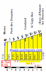
The first stage in Madeira is pure insanity. The journey is a 176.2 km hell with 5 mountain passes, that are extremely hard ( three 1st categories and two hors category) as well as some short walls that will help to explode the race. Madeira most known climbs are Pico Ruivo and Pico do Areeiro, but i present you the Paúl da Serra area in this stage.


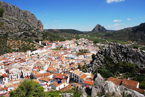
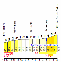
Stage starts in the eastern part of the island in the city of Machico and the first climb appears in the 13th kilometer in Santo António da Serra in a short but extremely steep climb. More less 40km after riders will have another ranked climb that is almost a clone of the first one, this time in the Gonçalves Zarco Road.

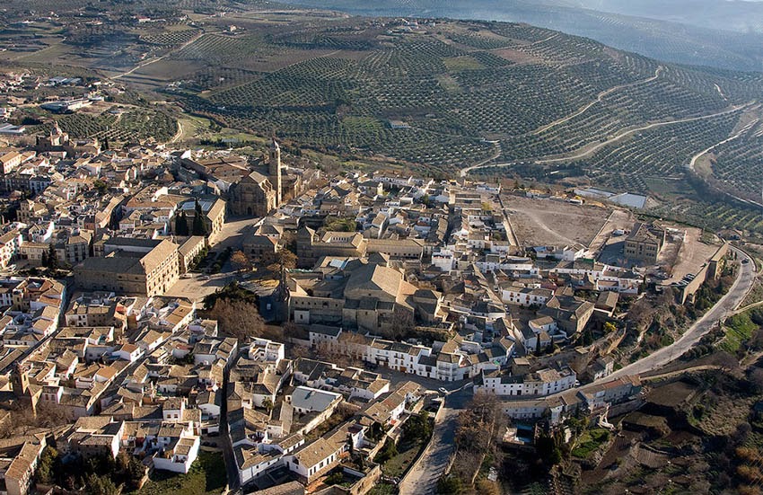
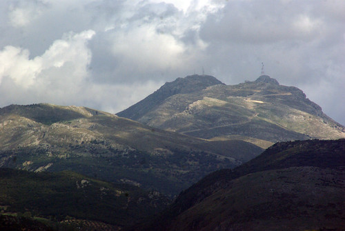
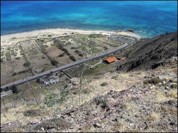
Santo António da Serra
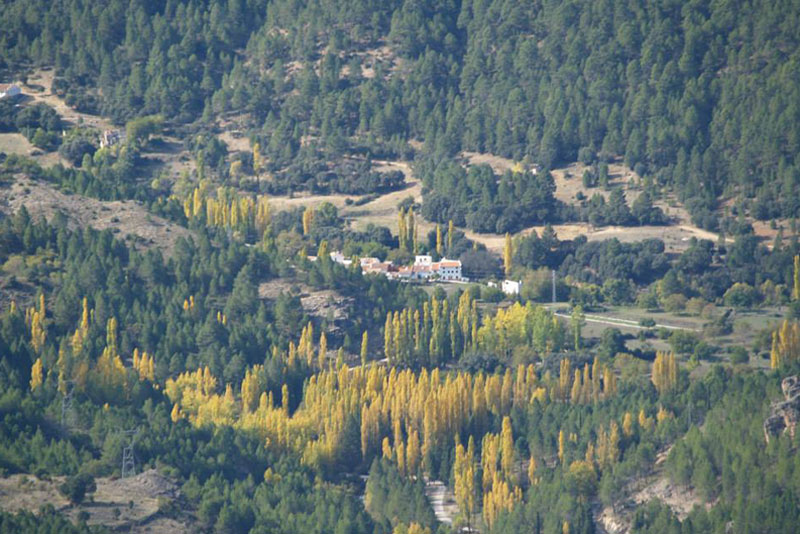
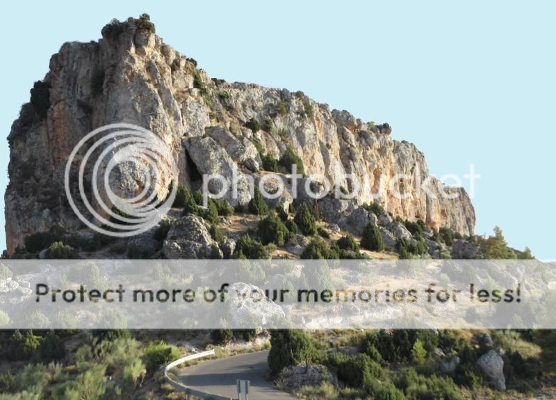
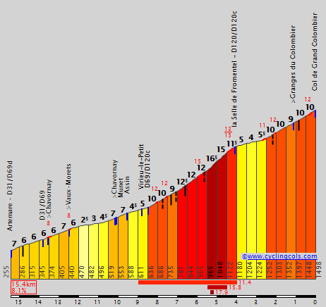
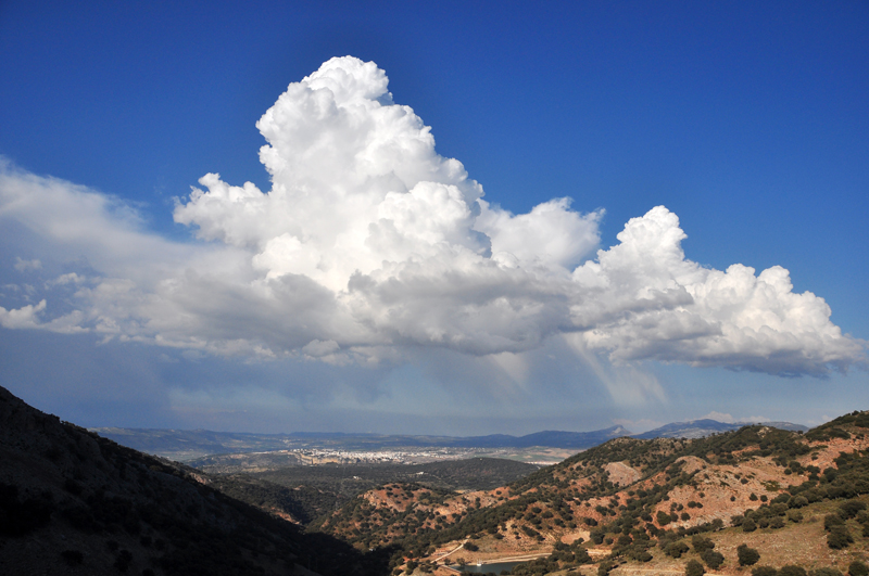
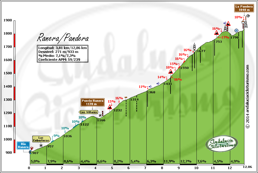
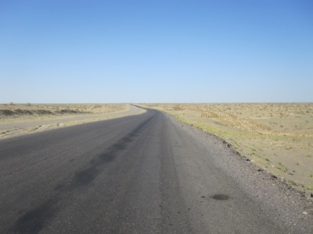
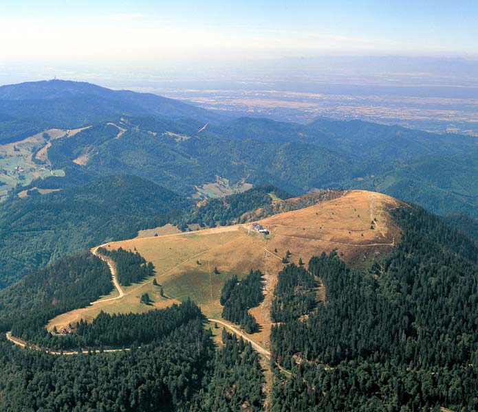
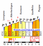
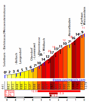
After the descent, the race will pass in Ponta do Sol and we start the brutal climb to the Paúl da Serra, in 14km of pure pain that will smash the peloton. Unfortunately i can’t find the profile of this side of the climb but i show you a image from google street view.

Paúl da Serra climb
After reach the top of Paúl da Serra there will be a 10km descent and...more hellish climbs with the combo of Alto da Fonte do Bispo and Miradouro da Bica da Cana. Fonte do Bispo is similar to Paúl climb only more short and a bit less steep but also very hard, in the other hand Bica da Cana is the longest climb but is the less steep of the day climbs.
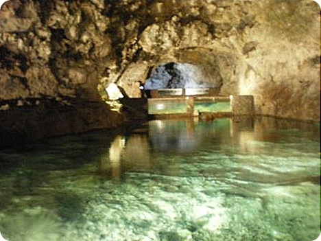
After the top of Bico da Cana we have a 20km descent that will bring the riders to the finish line in São Vicente, near the caves that exist in that village.
Stage 3: Machico - São Vicente (176.2km)
After two days/stages in Azores, the race moves to the next archipelago. Now its time for Madeira. Madeira archipelago is another of the portuguese maritime discoveries of the XV century. The archipelago is a group of 4 different islands: Madeira (the biggest one and the one who gives the name to the archipelago), Porto Santo, Desertas and Selvagens (the last two are unhabited). Madeira is named the Atlantic Pearl and has tourism as one of its main economical activities, being carnival and the fireworks in the new year’s eve two of the main events. Other recognized products of Madeira are bananas, wine and...Cristiano Ronaldo.
The first stage in Madeira is pure insanity. The journey is a 176.2 km hell with 5 mountain passes, that are extremely hard ( three 1st categories and two hors category) as well as some short walls that will help to explode the race. Madeira most known climbs are Pico Ruivo and Pico do Areeiro, but i present you the Paúl da Serra area in this stage.
Stage starts in the eastern part of the island in the city of Machico and the first climb appears in the 13th kilometer in Santo António da Serra in a short but extremely steep climb. More less 40km after riders will have another ranked climb that is almost a clone of the first one, this time in the Gonçalves Zarco Road.
Santo António da Serra
After the descent, the race will pass in Ponta do Sol and we start the brutal climb to the Paúl da Serra, in 14km of pure pain that will smash the peloton. Unfortunately i can’t find the profile of this side of the climb but i show you a image from google street view.
Paúl da Serra climb
After reach the top of Paúl da Serra there will be a 10km descent and...more hellish climbs with the combo of Alto da Fonte do Bispo and Miradouro da Bica da Cana. Fonte do Bispo is similar to Paúl climb only more short and a bit less steep but also very hard, in the other hand Bica da Cana is the longest climb but is the less steep of the day climbs.
After the top of Bico da Cana we have a 20km descent that will bring the riders to the finish line in São Vicente, near the caves that exist in that village.


") ).
).