As we enter the race's final week, it's time for us to ramp the intensity up a bit, with our second proper mountaintop finish of the race, as from here on in the GC contenders had better be on their guard.
Stage 15: Figueira da Foz - Alto Montejunto, 202km
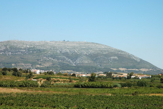
Often used in the Trofeu Joaquim Agostinho and the Volta do Futuro, the Alto Montejunto is a famous cycling spot in the west of the country. It isn't easy to link with many difficult climbs, especially not when approaching it from the north, but it has provided many an exciting race in the past, even if the average spread from 1st to 10th is only 40 seconds or so. The last winner there in a pro race was Koldo Gil in the 2008 Trofeu Joaquim Agostinho, while the year before Eladio Jiménez and Xavier Tondó previewed their mountain dominance before the Volta itself, where they broke away on the Alto da Torre, Jiménez proving the victor on both occasions. Other notable recent winners include Fabian Jeker, Jose Acevedo and David Bernabéu, while the 2003 race included some interesting names in the top 10, such as Juan Horrach, Alejandro Valverde and Ezequiel Mosquera.
To compensate for the lack of connecting climbs, I have opted for a long stage, and to climb part of the mountain before looping around to complete the job on the second lap. Though it's neither the longest nor steepest climb in the world, the final 5,7km are at 8,1%, which should be enough to entice some GC activity.
Climbs:
Senhora do Monte (cat.3) 4,6km @ 6,7%
Cabeça da Fornea (cat.3) 6,2km @ 4,6%
Montejunto (Avenal)(cat.2) 7,2km @ 5,6%
Alto Montejunto (cat.1) 9,2km @ 6,2%
The bigger riders should be able to limit their losses here, but with time bonuses available there's a good chance that good climbers could take some potentially significant time on this one, especially as we head into week 3, where endurance and recovery will become a key factor as two weeks of challenging racing in the scorching heat of August will come into play.
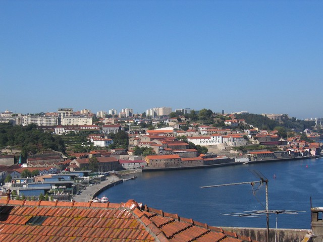
Figueira da Foz:
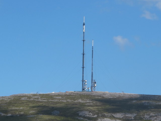
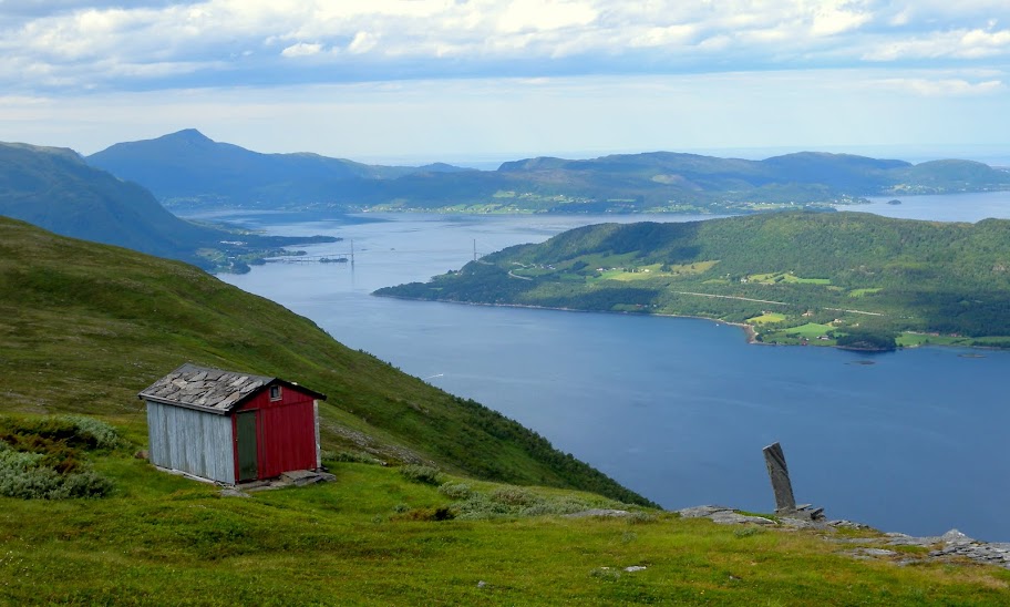
Alto Montejunto: