- Feb 20, 2010
- 33,267
- 15,816
- 28,180
2,3km @ 17%??? There will be some seriously pained legs after that. Makes what I'm about to post seem pretty... well... EASY.
Stage 6: Xàtiva - Xorret del Catí, 152km

Yes, I know it's overused recently, yes, I know it's common and predictable. But this is a killer climb. The Vuelta perhaps even more than the Tour is known for playing it relatively safe and repeatedly reusing famous, popular or supportive cities - some appear on the route seemingly every year. Because of this I have tried to stay true to some of the Vuelta's traditional homes and make use of them, but still innovate and showcase a few of the different things Spain has to offer that La Vuelta just doesn't use at the moment. Here, I'm staying close to the Vuelta's heart, and reusing a commonly used but popular finish.
This stage is relatively short and is similar in layout to the 2009 and 2010 stages over a number of medium difficulty climbs before a flattish run-in to the base of the brutally steep final climb, and as the crest of the summit is just 3,2km from the finishing line, it is up to you whether you want to call this a mountaintop finish. If it is, then it is the first of four summit finishes in the race, and is the shortest and steepest, and should need no introduction. But if you need one nonetheless, then here's the 2009 Vuelta tackling the wall, and Rein Taaramäe's rather unfortunate defining moment:
http://www.youtube.com/watch?v=OZlTOh_If4c
The stage is relatively short, which will mean that gaps here shouldn't be too big, but we know full well that a climb as steep as this can definitely break up a rider's momentum and create some gaps. Still, the top contenders' separation should still be in the seconds, not the minutes, and there's still more than two weeks to go. This has been a climber's race so far, but they shouldn't be resting on their laurels just yet.

Climbs:
Puerto de Albaída (cat.3) 11,2km @ 2,7%
Puerto de Tudons (cat.3) 6,9km @ 4,9%
Puerto de Torremanzanas (cat.2) 8,3km @ 5,3%
Puerto de la Carrasqueta (cat.2) 11,0km @ 4,8%
Alto Xorret del Catí (cat.1) 3,8km @ 11,6%
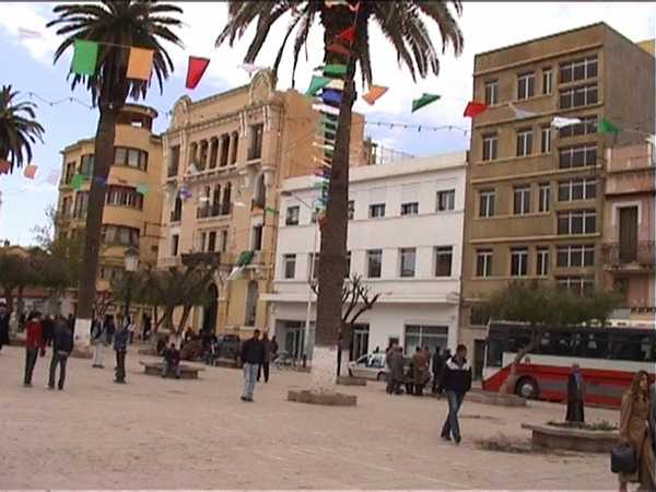
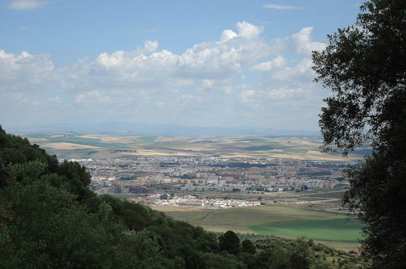
Xàtiva:

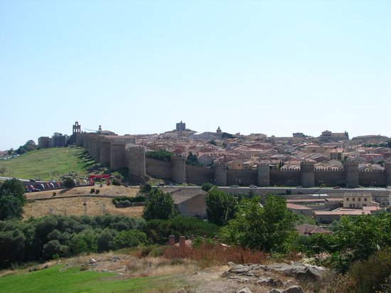
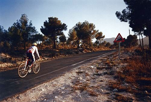
Xorret del Catí:
Stage 6: Xàtiva - Xorret del Catí, 152km
Yes, I know it's overused recently, yes, I know it's common and predictable. But this is a killer climb. The Vuelta perhaps even more than the Tour is known for playing it relatively safe and repeatedly reusing famous, popular or supportive cities - some appear on the route seemingly every year. Because of this I have tried to stay true to some of the Vuelta's traditional homes and make use of them, but still innovate and showcase a few of the different things Spain has to offer that La Vuelta just doesn't use at the moment. Here, I'm staying close to the Vuelta's heart, and reusing a commonly used but popular finish.
This stage is relatively short and is similar in layout to the 2009 and 2010 stages over a number of medium difficulty climbs before a flattish run-in to the base of the brutally steep final climb, and as the crest of the summit is just 3,2km from the finishing line, it is up to you whether you want to call this a mountaintop finish. If it is, then it is the first of four summit finishes in the race, and is the shortest and steepest, and should need no introduction. But if you need one nonetheless, then here's the 2009 Vuelta tackling the wall, and Rein Taaramäe's rather unfortunate defining moment:
http://www.youtube.com/watch?v=OZlTOh_If4c
The stage is relatively short, which will mean that gaps here shouldn't be too big, but we know full well that a climb as steep as this can definitely break up a rider's momentum and create some gaps. Still, the top contenders' separation should still be in the seconds, not the minutes, and there's still more than two weeks to go. This has been a climber's race so far, but they shouldn't be resting on their laurels just yet.
Climbs:
Puerto de Albaída (cat.3) 11,2km @ 2,7%
Puerto de Tudons (cat.3) 6,9km @ 4,9%
Puerto de Torremanzanas (cat.2) 8,3km @ 5,3%
Puerto de la Carrasqueta (cat.2) 11,0km @ 4,8%
Alto Xorret del Catí (cat.1) 3,8km @ 11,6%
Xàtiva:
Xorret del Catí:


")