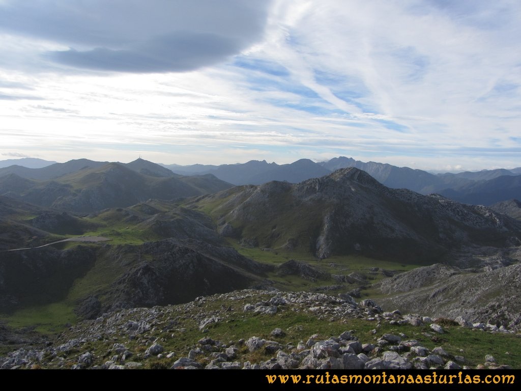
This final climb can be regarded as the brother of fearsome Angliru. Gamoniteiru's top is just 4 km from Angliru's finish. Both are located in a limestone massif called
Sierra del Aramo. Gamoniteiru is the highest peak of the massif (1791 m ASL). Another peak with the same prefix is Gamonal (1712 m ASL) - it's near Angliru col (initially it was an alternate name of that climb).
There is also a description of trekking in this area
https://www.rutasmontanaasturias.co...l-moncuevo-gamoniteiro-xistras-barriscal.html
Last year I could have possibly hiked there but unfortunately had to cancel my travel to the Cantabrian mountains due to the pandemic.